3.2 Georeferencing a scanned map
You have now a .TIF file or maybe a .JPG file, which is a representation of your paper map. This digital file should now be brought into relation with the surface of the earth. This is called geo-referencing. For this action you need GIS software.
Commercial GIS software such as ESRI ArcGIS or MapInfo is widely available and ‘no-cost’ GIS software, which also could perform this task, is ILWIS, (http://52north.org/downloads/Ilwis/) or Geothings Map Warper (http://warper.geothings.net/).
Note down the Coordinate system of the paper map, as this is necessary for the following process. Sometimes paper maps are found and we are not sure what coordinate system was being used as it has not been clearly stated on the paper copy. Some research may have to be done to estimate the original coordinate system used. For the Suriname map example it is thought probable that the coordinate system originally used was GCS North American 1927.
It is important to find four or more fixed points in the corner of the picture, from which you know exactly the position. Reliable points are church towers, railway and roads crossings, canals or bridges. Be careful with coastal features or rivers as these tend to change slowly in time. More points are desirable to prevent conical distortions, which often happen with digital cameras.
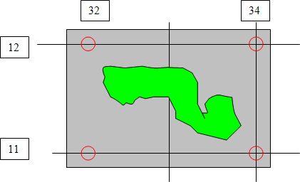
Usually these are crossing points of an altitude line and a longitude line.
The x and y coordinates of each crossing should be given to the program.
Be careful to use the relevant degree-minutes-seconds or decimal entries for degrees depending on the particular program’s requirements. After confirming the picture will be warped by the program so it fits now on the world surface. Please check the accuracy, preferable with a topographical map, as often even the cartographers have made mistakes, or may have deliberately introduced errors for geopolitical or security reasons. With slight alterations of the fixed points you can try to make a perfect overlap with a topographical map.
Section last modified: 11 June 2013