1.4.6 Using Google Earth
Google Earth: http://earth.google.co.uk/
Requires a PC with minimum 256MB memory and 3D-capable graphics card with 16MB of VRAM.
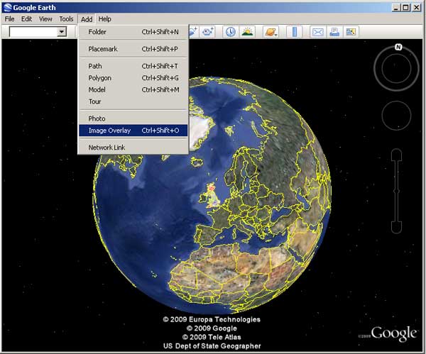
A simple way of viewing data in Google Earth is to use a KML file exported from the OneGeology Portal. You may also add a WMS directly, using the Add menu option and then ‘Image Overlay’.
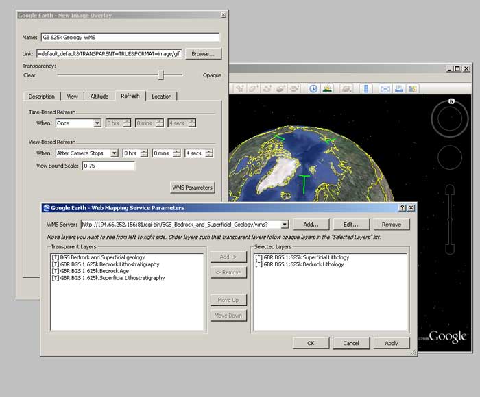
Give your service a name then select the ‘Refresh’ tab, and click on the ‘WMS parameters button. In the dialogue box, add the Service URL without parameters.
For example:
http://maps.bgs.ac.uk/ArcGIS/services/BGS_Detailed_Geology/MapServer/WMSServer?
The URL field is populated automatically (but note that it doesn’t add the ‘styles’ parameter, and this may cause the map layer to not display correctly — see Section 1.4.6.1 for further details).
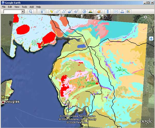
When you zoom into your area of interest Google Earth will tile your map.
Section last modified: 19 January 2010